Wednesday 28th August 2013
 |
| Near Lac Nire looking west |
Self-service breakfast then left at 8.30am for Baisse du Basto, 2693m.
The path weaves its way up the valley initially on an easy path with the occasional rock section, past lac Nice where there are some huge boulders.
 |
| Lookin west from Baisse du Basto |
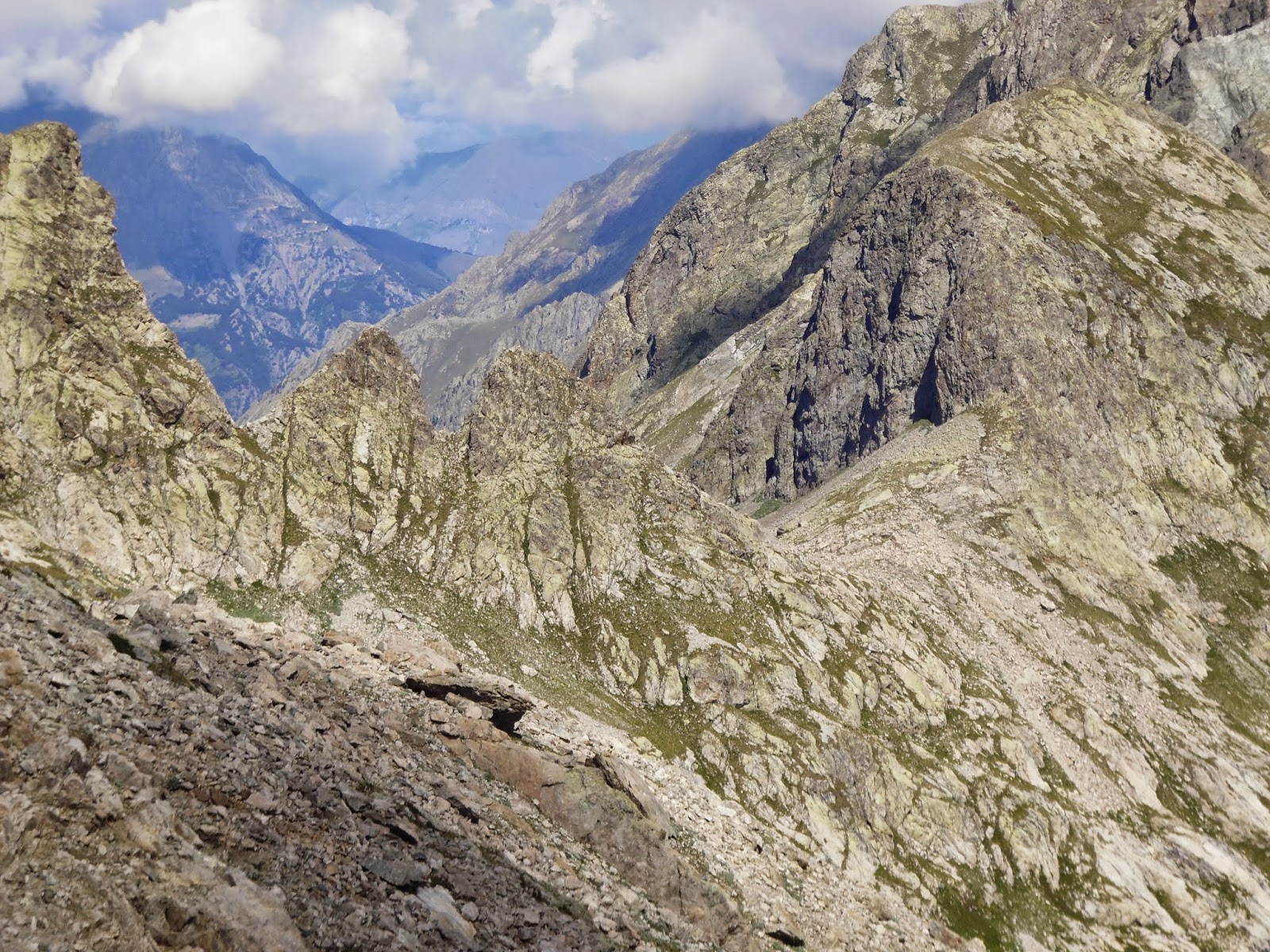
The route is clearly marked and passes three more lakes before climbing through solid rock and large boulder scree. The final 2-300m climbs very steeply on loose scree and ice covered rock. The col, Baisse du Basto (2693m) is fairly broad with superb views in all directions.
We scrambled higher on the SW side onto a couple of rocky peaks that had a shelter or look-out post. From the top we had our first glimpse of the Mediterranean coast.
 |
| Rocky tops SE of Baisse du Basto |
The descent was significantly easier, the path was a gentler gradient and far more stable underfoot. Also there was no verglas as this side had the benefit of the early morning sun to melt the ice. We passed lac Nire, three other small lakes and crossed several snow fields. The snow was quite a surprise as we were so far south and had the Med in our sights!
The final descent to the south of Lac du Basto was a little rougher, crossing large boulders, making our progress slow. Once in the Valmasque valley we headed north on an easy broad path, past 3 lakes (Basto, Noir and Vert) that are infact resorvoirs.
 |
| Le Lac Verte with Refuge Valmasque at the far end. |
The refuge is located on a rock at the eastern end of Lac de Verte. There are two optional variations for the approach to the refuge.
The longer one drops to 2205m into the valley below the refuge and is on a track.
The alternative, shown as a red dotted route on the map, crosses a large glacially smoothed rock. It does not cause any real problems and most people trekking the Alps will have no difficulty with this option if you cannot face dropping down then back up at the end of the day.
We sat on the wooden veranda drinking juice, tea and eating tart enjoying the late afternoon sun.
After our meal we were entertained to some communal singing lead by a ladies choir that were on a walking weekend. They sang mostly British songs from the Beetles etc. so we could join in.
Ascent 667m
Descent 679m
 |
| Le lac Verte from Refuge Valmasque |

 In France we used:
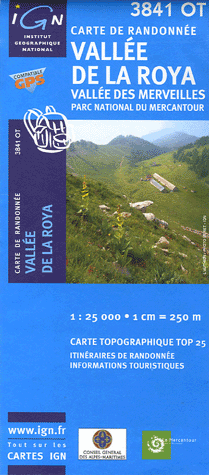
 3841OT Vallee de la Roya, Vallee des Merveilles
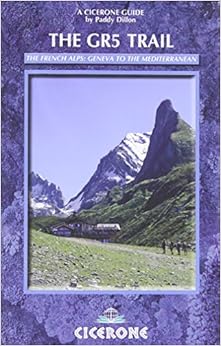
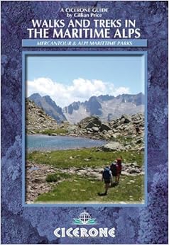 There are two Cicerone guides that provide useful information on the area.